


Quick Facts
Location: Meares Island, near Tofino, British Columbia
Region: Pacific Rim (Clayoquot Sound)
Trail Length: Big Tree Trail (boardwalk loop)
Time: 2–4 hours (including water taxi time)
Difficulty: Easy
Admission: Access by water taxi or tour (fees vary)
Facilities: Limited (pack water and rain gear)
Best Season: Year-round (summer is easiest for crossings)
Dog Friendly: Check operator rules and on-island guidelines
Also Known As: Big Tree Trail (Meares Island)
Info
Parking / Access
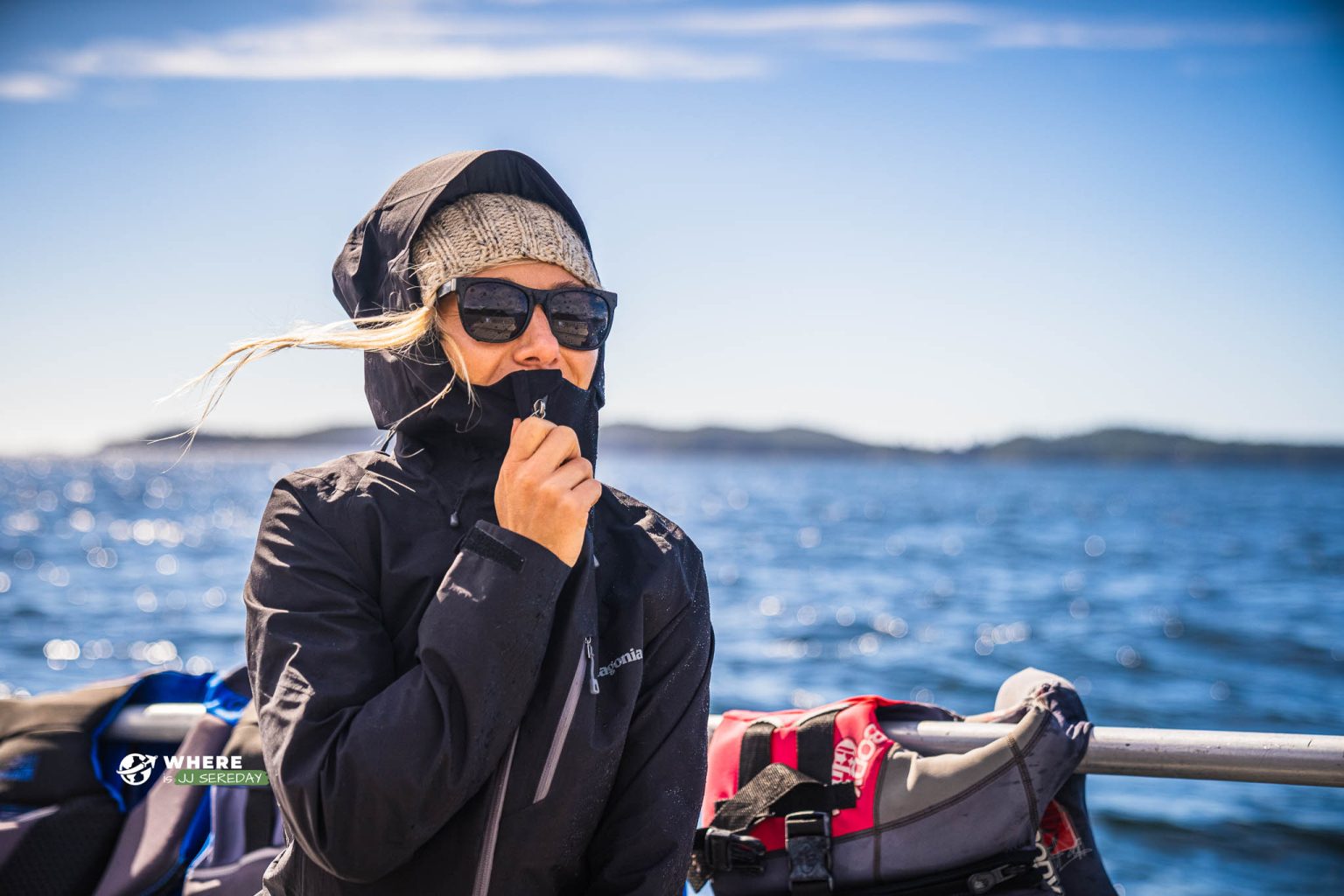
Meares Island is accessed from Tofino by water taxi or guided tour.
Getting there
Arrange a water taxi from Tofino and confirm drop-off and pickup times.
What to expect
A temperate rainforest experience with boardwalk walking and old-growth trees. Expect wet conditions even in summer.
Frequently Asked Questions
Where is Meares Island located?
Meares Island is in Clayoquot Sound, across from Tofino on Vancouver Island’s west coast.
How do I get to Meares Island from Tofino?
You usually get there by water taxi or guided tour departing from Tofino. Confirm pickup times and weather considerations with your operator.
What is the Big Tree Trail on Meares Island?
The Big Tree Trail is a boardwalk loop through old-growth rainforest, known for massive cedar trees and lush mossy forest.
How long does it take to visit Meares Island?
Plan about 2–4 hours including boat travel, walking time, and a buffer for weather or pickup schedules.
Do I need a guide to visit Meares Island?
A guide is not always required for the trail, but guided tours can add cultural and natural history context. If you prefer self-guided, a water taxi drop-off is the typical option.
Is the Big Tree Trail easy?
The boardwalk walking is generally easy, but it can be slippery when wet. Shoes with good traction help.
Is Meares Island accessible for people with mobility challenges?
Some sections may be easier due to boardwalk, but surfaces can be damp and uneven in places and access requires a boat ride. Expect partial accessibility.
What should I bring to Meares Island?
Bring rain gear, warm layers, water, and shoes with grip. A dry bag is helpful for boat travel.
Are dogs allowed on Meares Island?
Rules can vary by operator and on-island guidelines. Check with your water taxi or tour provider and follow posted rules.
What’s the best time of year to visit?
Summer has the most reliable weather for crossings, but the rainforest is impressive year-round. Shoulder season can be quieter, with more rain.


