


Quick Facts
Location: Medicine Hat, Alberta, Canada
Type: City
Best For: Prairie city stop, river valley walks, local history and roadside breaks
Time: Half-day to 2 days
Best Season: Spring–fall (comfortable for exploring)
Info
Parking / Access
Medicine Hat, Alberta (Google Maps)
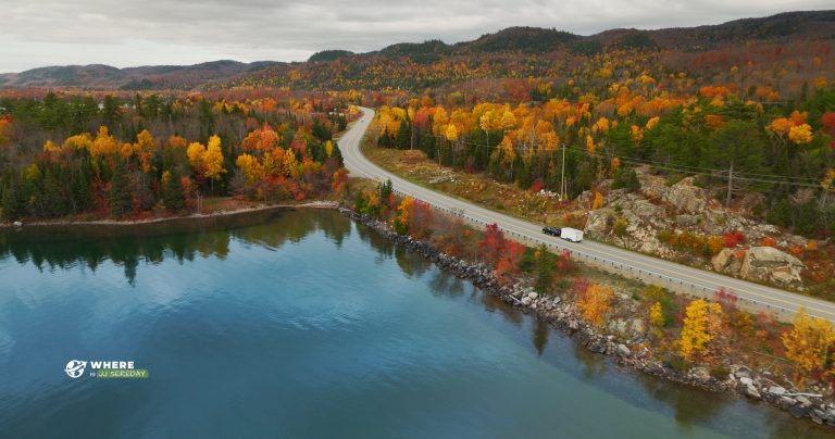
Medicine Hat is reached by highway driving across southern Alberta.
Getting Around
A car is the easiest way to get around, especially if you are stopping briefly on a road trip.
Frequently Asked Questions
Where is Medicine Hat located?
Medicine Hat is in southeastern Alberta, Canada.
Is Medicine Hat worth a stop on a road trip?
Yes, especially as a comfortable break between longer driving legs across southern Alberta.
What is Medicine Hat known for?
Medicine Hat is often known for its sunny weather, prairie setting, and river valley areas.
How long should I spend in Medicine Hat?
A few hours works for a quick stop. One night is enough to explore more calmly.
Is there good walking in Medicine Hat?
There are riverside and park areas that can be good for stretching your legs.
Is Medicine Hat family-friendly?
Yes. City parks and easy walking areas make it a practical family stop.
What is the best time of year to visit?
Late spring through early fall is usually the most comfortable for outdoor exploring.
Do you need a car?
A car is helpful, especially if you are passing through as part of a longer route.
Where should I start my visit?
Downtown and riverside park areas are common starting points for a quick first look.
What should I pack?
Bring water and sun protection in summer, and a wind layer for cooler evenings.


