


Quick Facts
Location: Tawatinâ LRT Bridge, Edmonton, Alberta
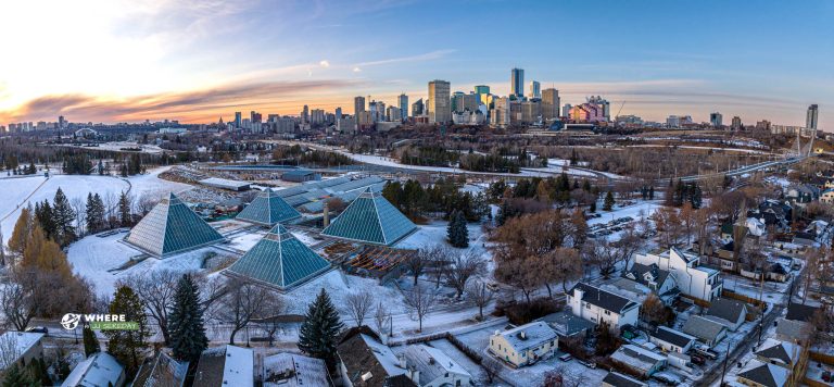
Region: North Saskatchewan River Valley / downtown-adjacent
Type: Transit bridge with pedestrian and cycling access
Admission: Free
Facilities: Multi-use paths, viewpoints, nearby parks and trails
Best Season: Year-round (best views in clear weather)
Dog Friendly: Yes on leash on nearby trails (follow posted rules)
Website: City project info
Google Maps: Get directions on Google Maps
Info
Parking / Access
You can reach the bridge from either side of the river via river valley trails.
Choose a nearby trailhead or park area in Google Maps based on how long you want to walk.
What to Expect
It is a scenic crossing with good city and river views and connects to major trail routes.
Safety
Be mindful of fast-moving cyclists and icy conditions in winter.
Frequently Asked Questions
Where is Tawatinâ LRT Bridge located?
Tawatinâ LRT Bridge spans the North Saskatchewan River in Edmonton.
How do I get to Tawatinâ LRT Bridge?
Use Google Maps to navigate to the closest trail access point or nearby parking area on the side of the river you are starting from.
Is there parking nearby?
Parking options depend on which riverbank you start from. Nearby parks and trailheads are usually the easiest approach.
How long should I plan for a visit?
For a quick walk across and photos, 20–45 minutes is enough. Add time if you connect to a longer river valley route.
Is it good for walking and biking?
Yes. There are pedestrian and cycling paths, and it connects into Edmonton’s river valley trail network.
Is it good for families?
Yes, especially for a short walk. Keep kids close and stay to the correct side of shared paths.
Are dogs allowed?
Dogs are typically fine on leash on nearby trails. Follow posted signs and local bylaws.
Is it open year-round?
Generally yes, but winter conditions can affect comfort and safety on paths.
When is the best time to visit?
Clear mornings and sunset are popular for photos.
Where can I find official info?
Use the City project page for details and updates: https://transforming.edmonton.ca/tawatina-bridge-connecting-people-to-downtown/


